Dubai, the UAE's glittering metropolis and global business hub, sits at just 5 meters above sea level on a low-lying coastal strip of the Arabian Desert along the Persian Gulf. The city is built almost entirely on flat, sandy terrain — a blank canvas on which Dubai has constructed some of the world's most audacious architecture and artificial islands. The elevation of any given point in Dubai says almost nothing about what you'll find there: towers of 800 m rise from ground that barely clears the tide.
Key Facts at a Glance
| Elevation above sea level | 5 m |
|---|---|
| Lowest point (city area) | 0 m |
| Highest point (city area) | 10 m |
| Coordinates | 25.2048 N, 55.2708 E |
| Country / Region | United Arab Emirates |
Topography: How is the City Shaped?
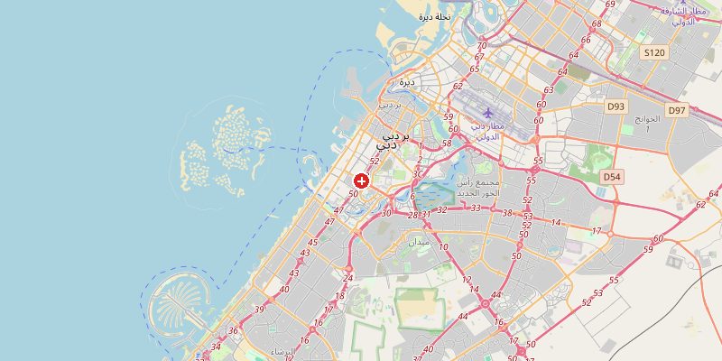
Dubai's terrain is exceptionally flat, ranging from 0 m on the coast and creek inlets to about 10 m in the inland desert districts. Dubai Creek (Khor Dubai), the historic inlet that gave birth to the city, runs through the old town at sea level. The Palm Jumeirah and other artificial islands are built on reclaimed land barely 1–3 m above the Gulf. Inland, the terrain shifts to sandy desert with low dunes reaching 5–15 m.
Elevations by District
| District / Area | Elevation |
|---|---|
| Dubai Creek / Deira (old town) | 0–3 m |
| Downtown Dubai / Burj Khalifa | 5–8 m |
| Jumeirah Beach / Marina | 0–3 m |
| Palm Jumeirah (artificial) | 1–3 m |
| Dubai Silicon Oasis (inland) | 8–12 m |
| Al Quoz / Industrial | 5–10 m |
Climate and Altitude: How Elevation Shapes the City
At 5 m, elevation plays no role in Dubai's climate. The city's extreme weather is driven entirely by its latitude (25°N) and the Persian Gulf. Summers are brutal — 40–48°C with high humidity from the Gulf — while winters are mild and pleasant. Dubai receives almost no rainfall (average 100 mm/year). Coastal fog in winter can reduce visibility dramatically, disrupting aviation at Dubai International Airport.
Interesting Facts About Dubai's Elevation
- The Burj Khalifa (828 m tall) stands on ground just 5 m above sea level — its observation deck at 555 m is the highest in the world.
- Palm Jumeirah, built from 94 million cubic meters of dredged sand, sits just 1–3 m above sea level and is visible from space.
- Dubai International Airport (DXB) is the world's busiest international airport, situated on land just 19 m above sea level.
- Dubai's coastline has grown by over 70 km through land reclamation, creating entire new neighborhoods at sea level.
Cities Comparison – Elevation in the Region
| City | Elevation |
|---|---|
| Abu Dhabi | 5 m |
| Sharjah | 5 m |
| Muscat (OM) | 10 m |
| Doha (QA) | 10 m |
Frequently Asked Questions About the Elevation of Dubai
What is the elevation of Dubai?
Dubai sits at approximately 5 m above sea level. The city is almost perfectly flat, ranging from 0 m on the coast and creek to about 10 m in inland desert areas.
Is Dubai at risk from rising sea levels?
Yes. With large areas at 0–3 m above sea level — including major developments like Palm Jumeirah — Dubai is significantly exposed to sea level rise and storm surges from the Persian Gulf.
How tall is the Burj Khalifa from sea level to its tip?
The Burj Khalifa's base is at ~5 m above sea level, and the building is 828 m tall, meaning its spire reaches approximately 833 m above sea level.
How is Dubai so developed despite being desert?
Oil wealth, visionary leadership, and massive investment transformed a small fishing village into a global city in just 50 years. The flat coastal terrain made large-scale construction straightforward.
Does it ever rain in Dubai?
Rarely. Dubai averages about 100 mm of rain per year, mostly in brief winter showers. The city's drainage infrastructure is minimal, and even light rain can cause flooding on flat streets.