Istanbul, the world's only city straddling two continents, sits at 40 meters above sea level on a hilly peninsula where Europe meets Asia across the Bosphorus strait. The city's extraordinary geography — seven hills on the European side, rolling terrain on the Asian side, divided by the Bosphorus and the Golden Horn inlet — has made Istanbul one of the most strategically located and visually dramatic cities in human history. Its hills were a key reason Constantinople became the center of two successive world empires.
Key Facts at a Glance
| Elevation above sea level | 40 m |
|---|---|
| Lowest point (city area) | 0 m |
| Highest point (city area) | 183 m |
| Coordinates | 41.0082 N, 28.9784 E |
| Country / Region | Turkey |
Topography: How is the City Shaped?
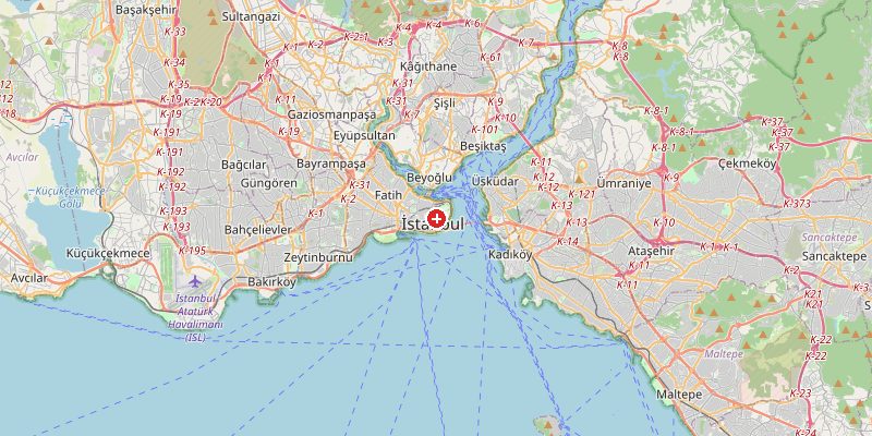
The historic peninsula of the Old City sits on a prominent promontory at 20–65 m, with the first hill (Topkapi Palace) at 65 m. The Bosphorus strait runs at sea level, 33 km long and 700 m–3 km wide. On the European side, the terrain rises sharply from the Golden Horn to 80–120 m in districts like Beyoğlu and Şişli. The Asian side (Anatolian shore) is generally hillier, rising to 135–183 m in areas like Çamlıca Hill.
Elevations by District
| District / Area | Elevation |
|---|---|
| Old City / Sultanahmet | 20–65 m |
| Beyoğlu / Galata | 30–100 m |
| Beşiktaş / Bosphorus shore | 0–80 m |
| Üsküdar (Asian side) | 5–120 m |
| Çamlıca (Asian hills) | 100–183 m |
| Fatih / Fener | 30–60 m |
Climate and Altitude: How Elevation Shapes the City
Istanbul sits at the crossroads of Mediterranean and continental climate influences. At 40 m, the city's climate is shaped by the Bosphorus and its position between the Black Sea and the Sea of Marmara. Winters are cold and wet with occasional snow; summers warm and humid. The Bosphorus acts as a thermal moderator and wind channel — sea breezes provide relief in summer but the poyraz (northeast wind) can bring bitter cold in winter.
Interesting Facts About Istanbul's Elevation
- Istanbul's historic peninsula was famously built on "seven hills" like Rome — a deliberate parallel that Byzantine emperors promoted to claim continuity with the Roman Empire.
- The Bosphorus strait, flowing through Istanbul, connects the Black Sea to the Sea of Marmara and carries 50,000 ships per year — one of the world's busiest waterways.
- Çamlıca Hill (183 m) on the Asian side offers panoramic views of both the European and Asian shores, the Bosphorus, and on clear days, the Princes' Islands in the Sea of Marmara.
- Istanbul is home to over 15 million people — more than any other European city — spread across both the European and Asian sides of the Bosphorus.
Cities Comparison – Elevation in the Region
| City | Elevation |
|---|---|
| Ankara (TR) | 938 m |
| Thessaloniki (GR) | 5 m |
| Sofia (BG) | 550 m |
| Bursa (TR) | 245 m |
Frequently Asked Questions About the Elevation of Istanbul
What is the elevation of Istanbul?
Istanbul sits at an average of 40 m above sea level. The historic Old City peninsula ranges from 0 m at the waterfront to 65 m at Topkapi Palace, while outer districts reach 183 m at Çamlıca Hill.
Is Istanbul built on hills?
Yes. The historic peninsula is famously built on seven hills. The wider metropolitan area is very hilly — especially on the Asian side, where terrain reaches 183 m within city limits.
Why is Istanbul on two continents?
Istanbul straddles the Bosphorus strait, the narrow waterway separating Europe and Asia. The European side hosts the historic city; the Asian side (Anatolia) has expanded massively in recent decades.
What is the Bosphorus?
The Bosphorus is a 33 km-long strait connecting the Black Sea to the Sea of Marmara, running through the heart of Istanbul. It is one of the world's most strategically important waterways.
How does the Bosphorus affect Istanbul's climate?
The strait moderates temperatures (cooler in summer, milder in winter than inland Anatolia), generates sea breezes, and channels the cold poyraz wind from the northeast in winter.