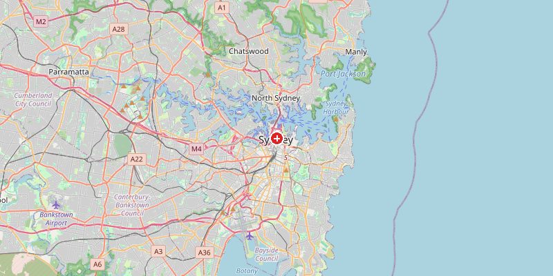
Sydney, Australia's largest city and one of the world's most beautiful harbors, sits at 39 meters above sea level on the coast of New South Wales. The city is built around the drowned river valley of Port Jackson — Sydney Harbour — creating one of the most spectacular natural harbors on Earth. The terrain is hilly and irregular, shaped by sandstone plateaus, river valleys, and the dramatic Hawkesbury sandstone cliffs that frame both the harbor and the Royal National Park to the south.
Key Facts at a Glance
| Elevation above sea level | 39 m |
|---|---|
| Lowest point (city area) | 0 m |
| Highest point (city area) | 339 m |
| Coordinates | 33.8688 S, 151.2093 E |
| Country / Region | Australia (New South Wales) |
Topography: How is the City Shaped?
Sydney's CBD sits on the southern shore of the harbor at 5–50 m. The northern suburbs across the harbor (North Sydney, Mosman) sit at 30–80 m on sandstone ridges. The western suburbs on the Cumberland Plain are flatter at 20–60 m. The Blue Mountains begin just 65 km west, rising sharply from 200 m to over 1,000 m. Within the greater Sydney region, the terrain reaches 1,170 m at Mount Kosciuszko (the continent's highest peak) 400 km away, but within city limits the highest terrain is around 339 m in the Hills District.
Elevations by District
| District / Area | Elevation |
|---|---|
| CBD / Circular Quay | 5–50 m |
| North Sydney (harbourside) | 30–80 m |
| Parramatta (Western) | 20–40 m |
| Bondi / Eastern Beaches | 10–60 m |
| Hills District (NW) | 100–339 m |
| Sutherland (S) | 30–100 m |
Climate and Altitude: How Elevation Shapes the City
Sydney has a humid subtropical climate — warm summers, mild winters, and rainfall spread across all seasons. The harbor and ocean profoundly shape the climate: sea breezes cool summer afternoons; the "Southerly Buster" — a sharp cold front from the south — can drop temperatures 10°C in minutes. The Blue Mountains to the west block moisture, making western Sydney hotter and drier than the coast. Bushfire risk is significant in suburban areas bordering national parks.
Interesting Facts About Sydney's Elevation
- Sydney Harbour is a ria — a drowned river valley — formed when rising seas at the end of the last Ice Age flooded the Hawkesbury River system, creating 317 km of shoreline within the harbor.
- The Sydney Opera House sits at just 3 m above sea level on Bennelong Point — a remarkable contrast to its 67 m roof shells.
- The Blue Mountains (65 km west) receive 1,400–2,000 mm of rain per year and have temperatures 5–8°C cooler than coastal Sydney.
- Sydney averages over 340 days of sunshine per year — one of the sunniest major cities in the world despite its rainfall.
Cities Comparison – Elevation in the Region
| City | Elevation |
|---|---|
| Canberra (ACT) | 580 m |
| Newcastle (NSW) | 30 m |
| Wollongong | 5 m |
| Melbourne | 31 m |
Frequently Asked Questions About the Elevation of Sydney
What is the elevation of Sydney?
Sydney CBD sits at approximately 39 m above sea level. Elevations range from 0 m at the harbor to 339 m in the Hills District northwest of the city.
How was Sydney Harbour formed?
Sydney Harbour is a ria — a river valley flooded by rising seas after the last Ice Age, about 10,000 years ago. The Hawkesbury River system was drowned, creating the complex, branching harbor shape.
Is Sydney at risk of flooding?
Yes — both coastal flooding from storm surges and inland flooding from intense rainfall. The Hawkesbury-Nepean valley west of Sydney is one of Australia's most flood-prone regions.
What are the Blue Mountains?
The Blue Mountains are a sandstone plateau 65 km west of Sydney, rising to over 1,000 m. They appear blue due to oil droplets evaporated from the dense eucalyptus forest — scattering blue light. They are a UNESCO World Heritage Site.
Why is Sydney's climate so mild?
Sydney sits at 34°S — equivalent to Morocco in the northern hemisphere — and benefits from ocean moderation, sea breezes, and the blocking effect of the Great Dividing Range to the west.