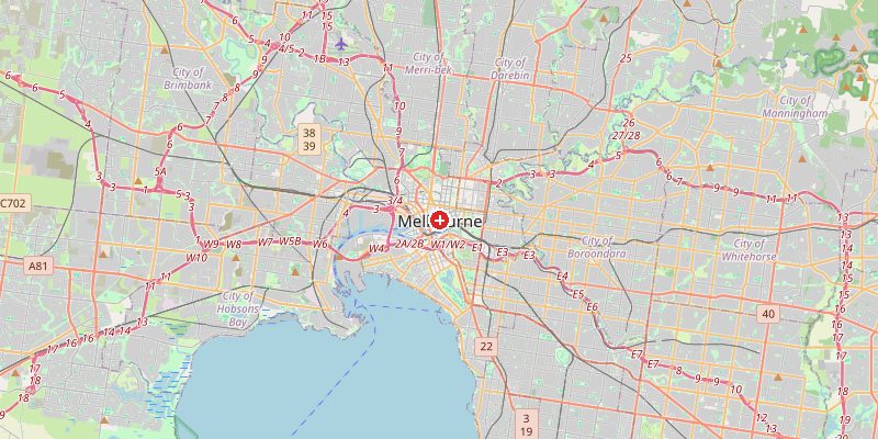
Melbourne, Australia's second-largest city and the capital of Victoria, sits at 31 meters above sea level on the northern shores of Port Phillip Bay, at the mouth of the Yarra River. The city is built on a broad coastal plain with gentle topography — but within its metropolitan area, the Dandenong Ranges to the east and the Macedon Ranges to the northwest rise to over 1,000 m, creating a dramatic backdrop to the flat urban core.
Key Facts at a Glance
| Elevation above sea level | 31 m |
|---|---|
| Lowest point (city area) | 0 m |
| Highest point (city area) | 120 m |
| Coordinates | 37.8136 S, 144.9631 E |
| Country / Region | Australia (Victoria) |
Topography: How is the City Shaped?
Melbourne's CBD sits on flat alluvial land at 15–35 m above sea level. The Yarra River meanders through the city at 5–10 m. Port Phillip Bay shoreline sits at 0 m. Moving east and north, the terrain rises gradually through the suburbs: Box Hill at 92 m, Ringwood at 75 m, and the Dandenong Ranges begin sharply at the city's eastern edge, climbing to 633 m at Mount Dandenong within the metropolitan area. Melbourne's highest suburb, Belgrave Heights, reaches about 120 m.
Elevations by District
| District / Area | Elevation |
|---|---|
| CBD / Southbank | 15–35 m |
| Port Phillip Shoreline (St Kilda) | 0–5 m |
| Fitzroy / Collingwood (inner N) | 30–55 m |
| Box Hill / Doncaster (E) | 75–100 m |
| Dandenong Ranges (far E) | 80–633 m |
| Belgrave Heights (highest suburb) | ~120 m |
Climate and Altitude: How Elevation Shapes the City
Melbourne is famous for its "four seasons in one day" weather, driven by its position at the edge of a continent exposed to the Southern Ocean. Cold polar fronts and warm subtropical air masses clash over the city. Elevation plays a minimal role — the city's unpredictable weather is all about its geography: the bay to the south, the continental interior to the north. Summer brings heat waves (the 2009 Black Saturday fires occurred during a 46°C heatwave), while cold southerly busters can drop temperatures 15°C in minutes.
Interesting Facts About Melbourne's Elevation
- Melbourne receives about 650 mm of rain per year — distributed across all seasons unlike most Australian cities, making it seem perpetually grey despite moderate total rainfall.
- The Yarra River, which flows through the CBD, is sometimes called "the river that flows upside down" due to its turbid, murky appearance from suspended clay sediment.
- Melbourne's Port Phillip Bay has a maximum depth of just 24 m — an enormous shallow bay that moderates the city's coastal climate.
- The Dandenong Ranges (633 m), just 35 km from the CBD, receive measurably more rainfall, snow occasionally in winter, and temperatures 5–8°C cooler than central Melbourne.
Cities Comparison – Elevation in the Region
| City | Elevation |
|---|---|
| Geelong | 35 m |
| Ballarat | 435 m |
| Bendigo | 225 m |
| Sydney | 39 m |
Frequently Asked Questions About the Elevation of Melbourne
What is the elevation of Melbourne?
Melbourne CBD sits at approximately 31 m above sea level. Elevations range from 0 m on the Port Phillip Bay shoreline to 633 m at Mount Dandenong in the eastern ranges.
Why is Melbourne's weather so unpredictable?
Melbourne sits at the boundary of tropical and polar air masses. Cold Southern Ocean fronts can arrive rapidly, clashing with hot continental air from the interior, causing dramatic temperature swings in hours.
Does it snow in Melbourne?
Rarely in the city (perhaps once every few decades). The Dandenong Ranges and especially the nearby Victorian Alps receive regular snowfall in winter.
What is the Yarra River?
The Yarra River flows 243 km from the Great Dividing Range to Port Phillip Bay through the heart of Melbourne. It is known for its brown, murky water due to clay sediment — prompting the "upside down river" nickname.
How does Port Phillip Bay affect Melbourne's climate?
The large, shallow bay (average depth 8 m) stores heat in summer and moderates winters. Sea breezes from the bay cool the city on hot afternoons — the "bay breeze" is a reliable Melbourne feature.