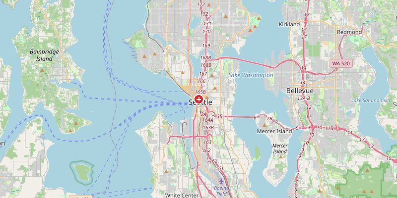
Seattle, the Pacific Northwest's largest city and home to Amazon, Boeing, and Microsoft, sits at 56 meters above sea level between Puget Sound to the west and Lake Washington to the east. The city is built on a series of hills created by glacial activity during the last Ice Age — a topography so challenging that Seattle's early engineers famously used hydraulic jets to blast away entire hills and fill in tidal flats, one of the most dramatic urban regrading projects in American history.
Key Facts at a Glance
| Elevation above sea level | 56 m |
|---|---|
| Lowest point (city area) | 0 m |
| Highest point (city area) | 158 m |
| Coordinates | 47.6062 N, 122.3321 W |
| Country / Region | Washington, USA |
Topography: How is the City Shaped?
Seattle's seven hills mirror the classical city of Rome in number if not fame. The city center sits at 30–80 m. Queen Anne Hill reaches 155 m, Capitol Hill 60–100 m, and Beacon Hill 110–158 m. Puget Sound to the west lies at sea level; Lake Washington to the east at 6 m. The Olympic Mountains are visible to the west on clear days, and Mount Rainier (4,392 m) dominates the southeastern horizon — one of the most iconic urban mountain views in the world.
Elevations by District
| District / Area | Elevation |
|---|---|
| Downtown / Pike Place Market | 20–50 m |
| Capitol Hill | 60–100 m |
| Queen Anne Hill | 80–155 m |
| Beacon Hill | 80–158 m |
| Rainier Valley (SE) | 30–80 m |
| Ballard / Fremont (N) | 30–60 m |
Climate and Altitude: How Elevation Shapes the City
Seattle's climate — cool, overcast, and frequently drizzly — is shaped by the Pacific Ocean and the mountain barriers, not its 56 m elevation. The Olympic Mountains block the heaviest Pacific moisture, making Seattle surprisingly drier (990 mm/year) than Portland or Vancouver. The city's hills create microclimates: west-facing slopes are wetter and cloudier; east-facing slopes in the rain shadow are slightly sunnier.
Interesting Facts About Seattle's Elevation
- Seattle regraded its downtown hills between 1898 and 1930 using powerful hydraulic water jets — removing 59 million cubic meters of earth and dumping it into Elliott Bay to create new flat land.
- The original streets of "Old Seattle" were buried when the hills were regraded — underground tours explore the ghost streets that still exist beneath Pioneer Square.
- Mount Rainier (4,392 m), 87 km away, is visible from Seattle on clear days and is the most glaciated peak in the contiguous United States.
- Seattle sits on a highly active seismic zone — the Cascadia Subduction Zone offshore could produce a magnitude 9.0 earthquake, the Pacific Northwest's greatest natural hazard.
Cities Comparison – Elevation in the Region
| City | Elevation |
|---|---|
| Tacoma | 43 m |
| Bellevue | 37 m |
| Vancouver (CA) | 70 m |
| Portland (OR) | 15 m |
Frequently Asked Questions About the Elevation of Seattle
What is the elevation of Seattle?
Seattle sits at an average of 56 m above sea level. Elevations range from 0 m at Puget Sound to 158 m at Beacon Hill's highest points.
Why is Seattle so hilly?
Seattle's hills are drumlins — elongated ridges formed when glaciers advanced over the region during the last Ice Age, depositing sediment in streamlined mounds aligned with ice flow direction.
Is Seattle really rainy?
Seattle is famous for rain, but it's more cloudy than wet. Seattle receives about 990 mm of rain per year — less than New York, Miami, or Atlanta. It's the persistent grey drizzle and overcast days (about 200 per year) that define the climate.
Can you see Mount Rainier from Seattle?
Yes, on clear days (roughly 75–100 days per year). Mount Rainier (4,392 m) is dramatically visible to the southeast and appears far larger than its distance suggests.
What was the Denny Regrade?
The Denny Regrade (1898–1930) was Seattle's massive project to flatten Denny Hill using hydraulic water jets, creating flat downtown land. It is one of the largest urban regrading projects in world history.