San Francisco, California's iconic city on the bay, sits at 52 meters above sea level on a hilly peninsula between the Pacific Ocean and San Francisco Bay. The city is famous for its dramatic hills — 43 named hills in all — that make it one of the most topographically varied urban environments in the United States. These hills, along with the bay, the fog, and the Golden Gate, define the city's unique character more than almost any other feature.
Key Facts at a Glance
| Elevation above sea level | 52 m |
|---|---|
| Lowest point (city area) | 0 m |
| Highest point (city area) | 282 m |
| Coordinates | 37.7749 N, 122.4194 W |
| Country / Region | California, USA |
Topography: How is the City Shaped?
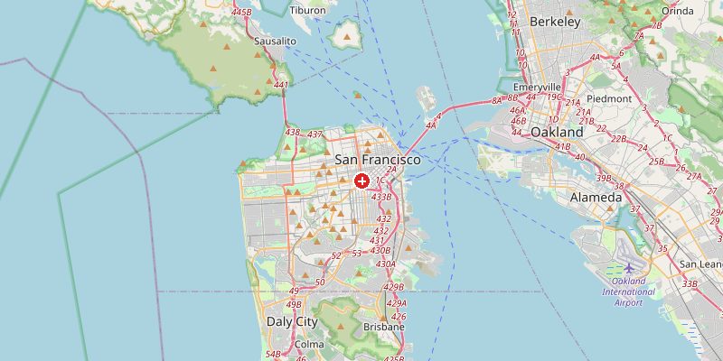
San Francisco occupies the northern tip of a peninsula with ocean on three sides. The city's terrain is extraordinarily varied: the Financial District and SoMa sit on flat, largely reclaimed land at 0–10 m. Twin Peaks rise to 282 m at the geographic center. The famous hills include Nob Hill (95 m), Russian Hill (60 m), and Telegraph Hill (94 m). The western half of the city — the Sunset and Richmond districts — is built on sandy dunes at 20–70 m.
Elevations by District
| District / Area | Elevation |
|---|---|
| Financial District / SoMa | 0–10 m |
| Nob Hill / Russian Hill | 55–95 m |
| Mission District | 20–40 m |
| Twin Peaks / Corona Heights | 150–282 m |
| Sunset District (sand dunes) | 20–60 m |
| Bernal Heights | 80–130 m |
Climate and Altitude: How Elevation Shapes the City
San Francisco's climate is driven by the cold California Current offshore and the bay's topography, not its average elevation. Famous for cool, foggy summers (the "June Gloom") and mild winters, SF rarely exceeds 21°C in summer or drops below 5°C in winter. Fog rolls in from the Pacific through the Golden Gate gap in summer, often cloaking the western neighborhoods while the eastern hillsides remain sunny. The city's hills create microclimates: the Mission District (sheltered by Twin Peaks) is significantly warmer and sunnier than the Sunset.
Interesting Facts About San Francisco's Elevation
- Twin Peaks (282 m) offer 360° views of the Bay Area — on a clear day, you can see the Sierra Nevada 250 km to the east.
- Much of San Francisco's Financial District is built on landfill from the Gold Rush era — streets in the 1906 earthquake liquefied because they sat on reclaimed bay mud.
- The 1906 San Francisco earthquake (magnitude 7.9) caused catastrophic fires fueled by broken gas mains — the hills' terrain channeled the fires unpredictably through the city.
- San Francisco's famous cable cars exist specifically because of the hills — invented in 1873 to allow horses to haul passengers up slopes too steep for conventional transport.
Cities Comparison – Elevation in the Region
| City | Elevation |
|---|---|
| Oakland | 13 m |
| San Jose | 27 m |
| Los Angeles | 96 m |
| Sacramento | 9 m |
Frequently Asked Questions About the Elevation of San Francisco
What is the elevation of San Francisco?
San Francisco averages 52 m above sea level. Elevations range from 0 m in reclaimed bay areas to 282 m at Twin Peaks.
How many hills does San Francisco have?
San Francisco has 43 officially named hills. The most famous include Twin Peaks (282 m), Nob Hill (95 m), Telegraph Hill (94 m), Russian Hill (60 m), and Potrero Hill (94 m).
Why is San Francisco so foggy?
The cold California Current chills the air above the Pacific. As warm inland air draws the marine layer inland through the Golden Gate gap, it condenses into thick fog — especially in summer.
Do hills create different climates within SF?
Yes significantly. The Mission District, sheltered by Twin Peaks from the sea fog, is 3–5°C warmer and much sunnier than the Sunset and Richmond districts on the ocean-facing side.
Did the hills affect the 1906 earthquake damage?
Yes. The hills acted as firebreaks in some areas and funneled wind-driven fire in others. Areas built on solid bedrock (the hills themselves) suffered less structural damage than neighborhoods on bay fill and sand.