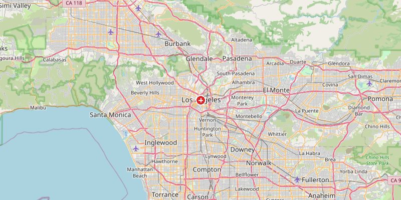
Los Angeles, California's metropolis of dreams and the second-largest city in the United States, sits at 96 meters above sea level — but within its sprawling county, elevations range from sea level beaches to mountains nearly 1,600 m high. LA is built across a complex mosaic of coastal plains, river valleys, foothills, and mountain ranges, all compressed into a single megalopolis that stretches from the Pacific to the Mojave Desert edge.
Key Facts at a Glance
| Elevation above sea level | 96 m |
|---|---|
| Lowest point (city area) | 0 m |
| Highest point (city area) | 1548 m |
| Coordinates | 34.0522 N, 118.2437 W |
| Country / Region | California, USA |
Topography: How is the City Shaped?
The LA Basin — where downtown and most of the urban core sit — is a broad, flat coastal plain at 0–150 m, drained by the concrete-lined Los Angeles River. The Hollywood Hills rise to 200–500 m behind Hollywood and Silverlake. The Santa Monica Mountains divide the basin from the San Fernando Valley at 300–600 m. The San Gabriel Mountains to the north rise to 1,000–1,548 m within LA County, with Mount Wilson at 1,742 m just outside. The Pacific coastline runs from sea level.
Elevations by District
| District / Area | Elevation |
|---|---|
| Downtown LA / Civic Center | 86–105 m |
| Hollywood / Los Feliz | 100–200 m |
| Beverly Hills / Bel Air | 100–400 m |
| Santa Monica / Venice Beach | 0–30 m |
| San Fernando Valley | 220–340 m |
| Griffith Park (hills) | 200–510 m |
Climate and Altitude: How Elevation Shapes the City
LA's Mediterranean climate — hot dry summers, mild wet winters — is shaped by the Pacific Ocean and the mountain barriers, not its average elevation. However, the mountains play a vital role: they trap smog in the basin (the famous LA haze), block moisture from the Mojave, and create strong seasonal winds like the Santa Ana winds that howl through mountain passes in autumn, dramatically increasing wildfire risk.
Interesting Facts About Los Angeles's Elevation
- The Getty Center, one of LA's premier cultural landmarks, sits at 270 m in the Santa Monica Mountains — offering sweeping views of the city and ocean.
- The LA River, once a seasonal wild river, was paved in concrete after catastrophic floods in 1938 and now flows at just 20–50 m above sea level.
- Mount Wilson (1,742 m), visible from much of LA on clear days, hosted the telescope that Edwin Hubble used to discover that galaxies beyond the Milky Way exist.
- The Hollywood Sign sits at about 475 m on the Santa Monica Mountains — visible from much of the LA Basin below.
Cities Comparison – Elevation in the Region
| City | Elevation |
|---|---|
| San Diego | 18 m |
| San Francisco | 52 m |
| Phoenix (AZ) | 331 m |
| Las Vegas (NV) | 610 m |
Frequently Asked Questions About the Elevation of Los Angeles
What is the elevation of Los Angeles?
Downtown LA sits at about 96 m above sea level. Elevations across LA County range from 0 m at the beaches to 1,548 m in the San Gabriel Mountains foothills within city limits.
Is Los Angeles hilly?
Parts of it very much so. The LA Basin and coastal areas are relatively flat, but the Hollywood Hills, Santa Monica Mountains, and San Gabriel Mountains create dramatic terrain within the metro area.
What are the Santa Ana winds?
The Santa Ana winds are hot, dry, powerful winds that blow from the inland desert through mountain passes into the LA Basin in autumn. They dramatically increase wildfire risk and can exceed 100 km/h.
Why is LA so smoggy?
The surrounding mountains trap air pollution in the LA Basin, preventing it from dispersing. Sea breezes push pollution inland, where it stagnates against the mountain walls — a classic "temperature inversion" effect.
What is the highest point in Los Angeles?
The highest point within Los Angeles city limits is about 1,548 m in the San Gabriel Mountains. The prominent peak of Mount Wilson (1,742 m) is just outside city limits but dominates the city's northern skyline.