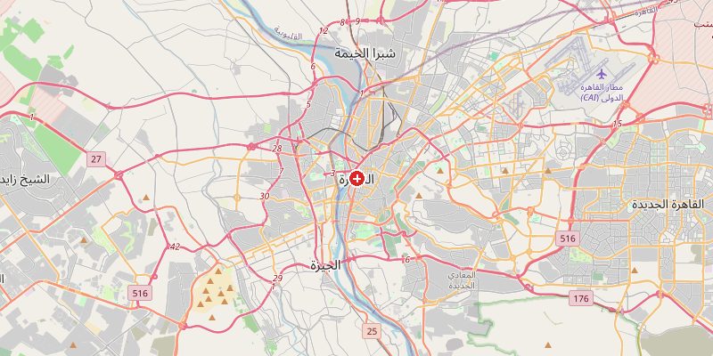
Cairo, Egypt's sprawling capital and Africa's largest city, sits at 74 meters above sea level at the southern tip of the Nile Delta. The city straddles both the narrow Nile Valley and the expanding desert plateau, creating one of the world's most dramatic contrasts between lush river floodplain and barren rocky desert. The Nile has shaped every aspect of Cairo's geography for more than 5,000 years.
Key Facts at a Glance
| Elevation above sea level | 74 m |
|---|---|
| Lowest point (city area) | 15 m |
| Highest point (city area) | 1072 m |
| Coordinates | 30.0444 N, 31.2357 E |
| Country / Region | Egypt |
Topography: How is the City Shaped?
The Nile River flows through Cairo at around 15–20 m above sea level. The historic Islamic Cairo district sits on slightly higher ground at 30–60 m. The Citadel of Saladin stands on a limestone outcrop at 80 m. To the east, the Muqattam Hills rise to 180–200 m. To the west, across the Nile in Giza, the famous plateau where the pyramids stand reaches 60–70 m, with the Great Pyramid's base at 60 m and its peak at 206 m.
Elevations by District
| District / Area | Elevation |
|---|---|
| Nile Corniche / Garden City | 18–25 m |
| Downtown Cairo (Khedive) | 30–50 m |
| Islamic Cairo / Al-Azhar | 40–65 m |
| Cairo Citadel (Mokattam) | 80–100 m |
| Muqattam Hills (East) | 140–200 m |
| Giza Plateau (pyramids) | 60–70 m |
Climate and Altitude: How Elevation Shapes the City
At 74 m, elevation plays a secondary role to latitude in shaping Cairo's hyperarid desert climate. The city receives less than 25 mm of rain per year. Summers are intensely hot (regularly 35–40°C), winters mild and dry. The Khamseen seasonal windstorms bring sand from the Sahara every spring, reducing visibility to near zero.
Interesting Facts About Cairo's Elevation
- The Great Pyramid of Giza stands on a plateau at 60 m above sea level — its apex originally reached 206 m elevation.
- The Nile in Cairo flows at just 15–20 m above sea level, having descended 1,000 km from its Ugandan source.
- Cairo is one of the world's most densely populated cities, with over 20 million people in the greater metro area.
- The Muqattam Hills limestone was the source of stone for many ancient monuments, including the Great Sphinx's outer casing.
Cities Comparison – Elevation in the Region
| City | Elevation |
|---|---|
| Alexandria (EG) | 5 m |
| Suez | 5 m |
| Jerusalem (IL) | 786 m |
| Amman (JO) | 950 m |
Frequently Asked Questions About the Elevation of Cairo
What is the elevation of Cairo?
Cairo sits at an average of 74 m above sea level. Elevations range from 15 m along the Nile to over 200 m in the Muqattam Hills east of the city.
Why is Cairo so dry despite being on the Nile?
Cairo sits in the Sahara Desert. The Nile provides water, but the surrounding landscape is hyperarid. The city receives under 25 mm of rain per year.
Where are the pyramids in relation to Cairo?
The Giza pyramids are on a plateau at 60–70 m above sea level, about 15 km southwest of central Cairo on the west bank of the Nile.
What are the Khamseen winds?
The Khamseen (or Khamsin) are hot, dry sandstorms that blow from the Sahara into Cairo each spring, carrying huge amounts of dust and sand.
Is Cairo growing into the desert?
Yes. Cairo is rapidly expanding onto the surrounding desert plateau. New satellite cities like New Cairo are being built on previously empty desert at 100–200 m elevation.