Vancouver, Canada's third-largest city and one of the world's most livable urban areas, sits at 70 meters above sea level on a peninsula between the Pacific Ocean, Burrard Inlet, and the Fraser River delta. Vancouver is defined by its extraordinary setting: to the north, the glacier-capped Coast Mountains rise to over 1,500 m within the metropolitan area; to the west, the Pacific Ocean moderates the climate; and the city itself rolls across a series of hills and peninsulas that make almost every neighborhood feel like a different world.
Key Facts at a Glance
| Elevation above sea level | 70 m |
|---|---|
| Lowest point (city area) | 0 m |
| Highest point (city area) | 1524 m |
| Coordinates | 49.2827 N, 123.1207 W |
| Country / Region | British Columbia, Canada |
Topography: How is the City Shaped?
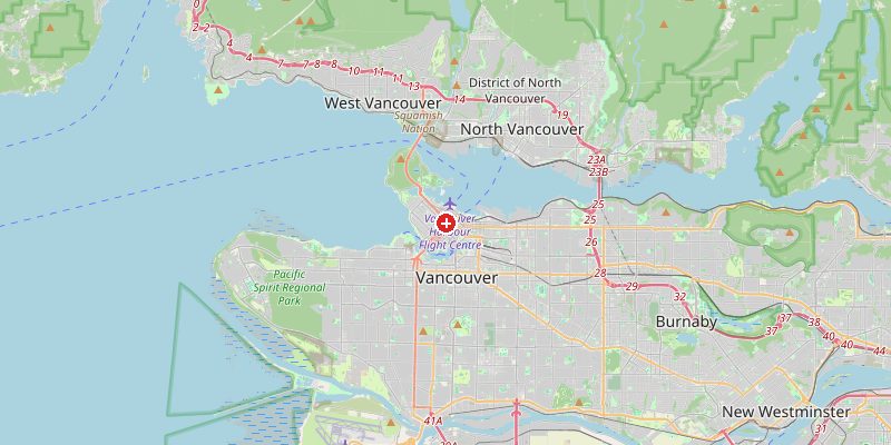
Vancouver's downtown peninsula sits at 0–70 m above sea level. The city's West End and Kitsilano neighborhoods slope from 30–70 m toward the water. The Cambie corridor rises to 80–120 m. To the north, across Burrard Inlet, the North Shore mountains rise abruptly — Grouse Mountain reaches 1,231 m, Mount Seymour 1,453 m, and Cypress Mountain 1,440 m, all within the metro area. Mount Garibaldi to the north reaches 2,678 m. The Fraser River delta to the south sits at 0–2 m.
Elevations by District
| District / Area | Elevation |
|---|---|
| Downtown / West End | 0–70 m |
| Kitsilano / Kerrisdale | 30–80 m |
| Burnaby (east) | 80–150 m |
| North Shore (across inlet) | 0–200 m |
| Grouse / Seymour mountains | 800–1524 m |
| Fraser Delta (Richmond) | 0–2 m |
Climate and Altitude: How Elevation Shapes the City
Vancouver has a temperate oceanic climate — the mildest winter of any major Canadian city. The Coast Mountains block cold Arctic air, while the Pacific delivers mild, moist air year-round. Rainfall is heavy (1,150 mm/year in the city, much more on the north shore mountains). The city rarely sees snow at sea level, but the mountains above 700 m receive enormous snowfall — making Vancouver the only major city with world-class ski mountains accessible within 30 minutes of downtown.
Interesting Facts About Vancouver's Elevation
- Vancouver is the only major city in Canada that never experiences sustained below-freezing temperatures at sea level — snow in downtown is rare, occurring a few times per year at most.
- The Grouse Grind — a 2.9 km trail climbing 853 m of vertical on Grouse Mountain — is one of the most popular hikes in Canada, completed by 150,000 people per year.
- Richmond, just south of Vancouver on the Fraser River delta, sits at 0–2 m above sea level and is entirely protected by dikes against flooding from the river and the ocean.
- Vancouver's mountains create a profound rain shadow: the city receives 1,150 mm/year, while the North Shore mountains above 1,000 m receive 3,000–4,000 mm, much of it as snow.
Cities Comparison – Elevation in the Region
| City | Elevation |
|---|---|
| Victoria (BC) | 18 m |
| Seattle (WA) | 56 m |
| Whistler (BC) | 668 m |
| Abbotsford (BC) | 56 m |
Frequently Asked Questions About the Elevation of Vancouver
What is the elevation of Vancouver?
Vancouver's downtown peninsula averages 70 m above sea level. Elevations range from 0 m on the waterfront and Fraser Delta to over 1,500 m on the North Shore mountains within the metropolitan area.
Does it snow in Vancouver?
Rarely at sea level — downtown Vancouver gets a few light snowfalls per year that rarely last more than a day or two. But the North Shore mountains above 600 m receive massive snowfall, supporting three major ski resorts.
How close are Vancouver's ski mountains?
The three main ski mountains — Grouse, Seymour, and Cypress — are all within 30–40 minutes of downtown Vancouver, rising from sea level to 1,200–1,500 m. This is what makes Vancouver uniquely livable for outdoor enthusiasts.
Is Richmond, BC at risk of flooding?
Yes. Richmond sits on a Fraser River delta island at 0–2 m above sea level, entirely protected by an extensive dike system. Sea level rise and the possibility of a major earthquake damaging the dikes are significant concerns.
Why is Vancouver's climate so mild?
The Coast Mountains block cold Arctic air from the interior. Pacific Ocean air moderates temperatures year-round. Vancouver sits in the same latitude as Paris but has a much milder winter due to the ocean influence.