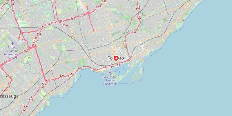
Toronto, Canada's largest city and the financial capital of the country, sits at 76 meters above sea level on the northwestern shore of Lake Ontario. The city is built on a broad, gently sloping plain that rises steadily northward from the lake — a terrain shaped by the same glacial processes that created the Great Lakes themselves. Lake Ontario profoundly influences Toronto's climate, providing both natural air conditioning in summer and the notorious "lake effect" snowstorms in winter.
Key Facts at a Glance
| Elevation above sea level | 76 m |
|---|---|
| Lowest point (city area) | 76 m |
| Highest point (city area) | 209 m |
| Coordinates | 43.6532 N, 79.3832 W |
| Country / Region | Ontario, Canada |
Topography: How is the City Shaped?
Toronto's lakefront sits at 76 m — the elevation of Lake Ontario itself. The terrain rises gently northward from the shore. Downtown and midtown sit at 80–100 m. The Scarborough Bluffs on the eastern lakeshore rise dramatically to 90 m directly above the waterline. The Don and Humber river valleys cut through the city, creating natural ravines 20–40 m deep. The Oak Ridges Moraine to the north, within the greater Toronto area, reaches 209 m.
Elevations by District
| District / Area | Elevation |
|---|---|
| Downtown / Waterfront | 76–85 m |
| Midtown / Yorkville | 90–105 m |
| Scarborough Bluffs (E) | 80–100 m |
| North York / Yonge corridor | 120–165 m |
| Etobicoke (W) | 90–130 m |
| Oak Ridges Moraine (N) | 160–209 m |
Climate and Altitude: How Elevation Shapes the City
Toronto's climate is shaped by its continental interior position and Lake Ontario. Winters are cold with frequent snowfall — particularly lake effect snow when cold air moves over the warmer lake water in November–January. Summers are warm and humid. The lake moderates temperatures year-round: it prevents spring frosts longer than areas away from the lake, and keeps autumn temperatures mild well into November.
Interesting Facts About Toronto's Elevation
- Toronto's Scarborough Bluffs — 15 km of dramatic cliffs rising 90 m directly above Lake Ontario — were formed by glacial lake erosion over thousands of years.
- Lake Ontario (76 m elevation) is the smallest of the Great Lakes by surface area but is the most elevated, sitting 74 m higher than Lake Erie to the west.
- Toronto's extensive ravine system — 300 km of wooded valley parks — is one of the largest urban ravine networks in the world, carved by glacial meltwater.
- The CN Tower (553 m tall) stands on the lakefront at just 76 m elevation — its observation deck at 346 m is one of the highest in the western hemisphere.
Cities Comparison – Elevation in the Region
| City | Elevation |
|---|---|
| Hamilton (ON) | 80 m |
| Mississauga (ON) | 89 m |
| Ottawa (ON) | 70 m |
| Buffalo (NY) | 179 m |
Frequently Asked Questions About the Elevation of Toronto
What is the elevation of Toronto?
Toronto's lakefront sits at 76 m — the elevation of Lake Ontario. Elevations rise northward to 209 m at the Oak Ridges Moraine.
Why is Toronto at 76 m if it's on a lake?
Lake Ontario's water surface is at 74–76 m above sea level — much higher than the ocean. The lake sits atop the ancient bedrock of the Canadian Shield, elevated by geological uplift.
Does Toronto get lake effect snow?
Yes. When cold Arctic air moves southward over the relatively warm Lake Ontario in autumn and early winter, it picks up moisture and deposits heavy localized snowfall on Toronto's eastern and central areas.
What are Toronto's ravines?
Toronto has over 300 km of ravines — deep, wooded valleys carved by glacial meltwater rivers. They form a natural green network through the city and are popular for hiking and cycling.
How does Lake Ontario affect Toronto's climate?
The lake moderates temperatures significantly — it delays spring warming (the lake stays cold long into spring) but extends autumn warmth. It generates lake-effect snow in November–January when cold air crosses the still-warm lake water.