Las Vegas, Nevada's entertainment capital and one of the fastest-growing cities in the United States, sits at 610 meters above sea level in the Mojave Desert's Las Vegas Valley. Despite being known for its flat, glittering Strip, Las Vegas is actually a high-desert city surrounded by mountain ranges on all sides. This enclosed basin geography — the Spring Mountains to the west, the River Mountains to the southeast — has both blessed and cursed Las Vegas with extreme desert weather moderated only slightly by its altitude.
Key Facts at a Glance
| Elevation above sea level | 610 m |
|---|---|
| Lowest point (city area) | 580 m |
| Highest point (city area) | 913 m |
| Coordinates | 36.1699 N, 115.1398 W |
| Country / Region | Nevada, USA |
Topography: How is the City Shaped?
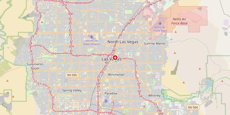
Las Vegas sits in the floor of the Las Vegas Valley, a broad basin surrounded by mountain ranges. The Strip and downtown lie at 580–620 m. The terrain rises gradually toward the surrounding mountains: Summerlin in the west reaches 700–800 m at its highest developments. Red Rock Canyon (25 km west) begins at 900 m and rises to 1,200 m. Mount Charleston, just 40 km northwest, towers at 3,633 m and receives regular snowfall even while Las Vegas bakes below.
Elevations by District
| District / Area | Elevation |
|---|---|
| The Strip / Paradise | 595–610 m |
| Downtown Las Vegas | 590–605 m |
| Summerlin (west) | 650–800 m |
| Henderson (southeast) | 620–750 m |
| North Las Vegas | 590–620 m |
| Enterprise / Southwest | 610–700 m |
Climate and Altitude: How Elevation Shapes the City
At 610 m, Las Vegas has a hot desert climate — but its elevation keeps it from being as extreme as lower-lying desert cities. Summer highs average 40°C, occasionally reaching 47°C. Winters are mild with rare frost. The basin traps heat and dust. "Monsoon" thunderstorms in July–August bring sudden flash floods as intense rain falls on the concrete-hard desert floor with nowhere to drain. Snow in Las Vegas is a rare but memorable event, occurring every few years.
Interesting Facts About Las Vegas's Elevation
- Mount Charleston (3,633 m), just 40 km from the Strip, receives over 400 cm of snow per year while Las Vegas below averages zero.
- Las Vegas consumes about 90% of its water from the Colorado River via Lake Mead — the reservoir has fallen to critically low levels due to drought and overuse.
- The Hoover Dam, 48 km southeast, sits at 360 m — 250 m lower than Las Vegas — and its reservoir, Lake Mead, is the largest in the US by volume.
- Las Vegas was entirely uninhabited desert in 1900 and had only 5,000 residents in 1930. Today the metro area exceeds 2.2 million.
Cities Comparison – Elevation in the Region
| City | Elevation |
|---|---|
| Henderson (NV) | 625 m |
| Reno (NV) | 1370 m |
| Phoenix (AZ) | 331 m |
| Salt Lake City (UT) | 1288 m |
Frequently Asked Questions About the Elevation of Las Vegas
What is the elevation of Las Vegas?
Las Vegas sits at approximately 610 m (2,000 ft) above sea level in the Mojave Desert. Elevations range from 580 m downtown to over 800 m in the Summerlin western suburbs.
Is Las Vegas in the desert?
Yes. Las Vegas is in the Mojave Desert, one of the hottest and driest deserts in North America, receiving only about 110 mm of rain per year.
Does it snow in Las Vegas?
Snow on the Strip is rare — perhaps once every 5–10 years. However, the Spring Mountains just 40 km west receive heavy annual snowfall, and Mount Charleston (3,633 m) has reliable skiing.
Why is Las Vegas so hot?
The basin geography traps heat in summer. With no significant water bodies, dry desert air, and intense sunshine, temperatures regularly exceed 40°C from June through September.
How does Las Vegas get its water?
Approximately 90% of Las Vegas's water comes from the Colorado River via Lake Mead. The city has aggressive water recycling programs because of chronic drought in the American Southwest.