Madrid, the capital of Spain and one of Europe's great capitals, sits at 667 meters above sea level on the Castilian Plateau — making it the highest capital city in the European Union. This commanding elevation gives Madrid a continental climate that surprises many visitors expecting a hot Mediterranean city: winters can be genuinely cold with snowfall, summers are scorching and dry, and the thin air at altitude is noticeably crisp. The city sits on the southern slopes of the Sierra de Guadarrama, whose peaks loom on the northern horizon.
Key Facts at a Glance
| Elevation above sea level | 667 m |
|---|---|
| Lowest point (city area) | 550 m |
| Highest point (city area) | 850 m |
| Coordinates | 40.4168 N, 3.7038 W |
| Country / Region | Spain |
Topography: How is the City Shaped?
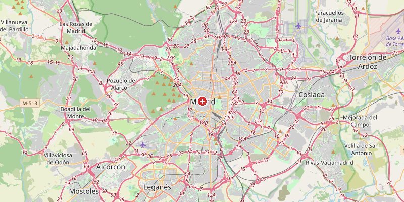
Madrid occupies the southern edge of the Castilian Meseta (plateau) where it descends toward the Tagus River valley. The city center around Puerta del Sol sits at 655–670 m. Moving northwest, the terrain rises toward the Casa de Campo park (620–720 m) and the Moncloa hill (680 m). The Manzanares River cuts through the western city at 570–600 m. To the north, the foothills of the Sierra de Guadarrama rise sharply toward peaks above 2,000 m just 50 km away.
Elevations by District
| District / Area | Elevation |
|---|---|
| Puerta del Sol / Centro | 655–670 m |
| Salamanca / Retiro | 640–660 m |
| Moncloa / Ciudad Universitaria | 660–720 m |
| Manzanares River valley | 570–600 m |
| Vallecas (SE) | 600–650 m |
| Montecarmelo (N) | 720–850 m |
Climate and Altitude: How Elevation Shapes the City
Madrid's high elevation (667 m) gives it a continental Mediterranean climate — hot, dry summers (regularly 35–40°C) and cold winters with snowfall. The city's elevation puts it above the mild coastal air masses that soften the climate of coastal Spain. January averages just 6°C. Madrid holds a curious weather record: it is both the hottest AND one of the coldest capital cities in Western Europe, depending on the season.
Interesting Facts About Madrid's Elevation
- Madrid is the highest capital city in the EU at 667 m — higher than Bern (549 m), Vienna (171 m), or Paris (35 m).
- The Guadarrama mountain range, visible from central Madrid, has peaks over 2,400 m and receives reliable snowfall every winter.
- The Bernabéu Stadium (home of Real Madrid) sits at 660 m — players at altitude-level venues have measurably different cardiovascular performance.
- Madrid rarely experiences the coastal humidity that characterizes much of Spain — its plateau location means very low humidity even during summer heat.
Cities Comparison – Elevation in the Region
| City | Elevation |
|---|---|
| Toledo (ES) | 529 m |
| Segovia (ES) | 1002 m |
| Barcelona | 12 m |
| Lisbon (PT) | 20 m |
Frequently Asked Questions About the Elevation of Madrid
What is the elevation of Madrid?
Madrid sits at 667 m above sea level, making it the highest capital in the EU. Elevations within the city range from 550 m along the Manzanares River to 850 m in northern districts.
Why is Madrid so high up?
Madrid sits on the Castilian Meseta, a high plateau averaging 600–800 m across central Spain. The plateau was formed by ancient geological uplift of the Iberian Peninsula's interior.
Does it snow in Madrid?
Yes, occasionally. Madrid receives snowfall most winters, typically 1–3 times per season. The historic January 2021 storm Filomena brought the heaviest snowfall in 50 years, paralysing the city.
How does Madrid's altitude affect its climate?
The high elevation makes Madrid's climate far more continental than coastal Spain — bitterly cold winters and scorching but very dry summers. The air is noticeably thinner and less humid than at sea level.
Is Madrid the highest capital in Europe?
No — Andorra la Vella (1,023 m) in the Pyrenees is Europe's highest capital. But Madrid is the highest capital of a major European Union nation.