Barcelona, the vibrant capital of Catalonia and Spain's second-largest city, sits at 12 meters above sea level on a coastal plain between the Mediterranean Sea and the Collserola mountain ridge. While the city center is remarkably flat, the greater urban area encompasses an extraordinary elevation range — from the beaches at sea level to the peaks of Collserola at over 500 m.
Key Facts at a Glance
| Elevation above sea level | 12 m |
|---|---|
| Lowest point (city area) | 0 m |
| Highest point (city area) | 512 m |
| Coordinates | 41.3851 N, 2.1734 E |
| Country / Region | Spain (Catalonia) |
Topography: How is the City Shaped?
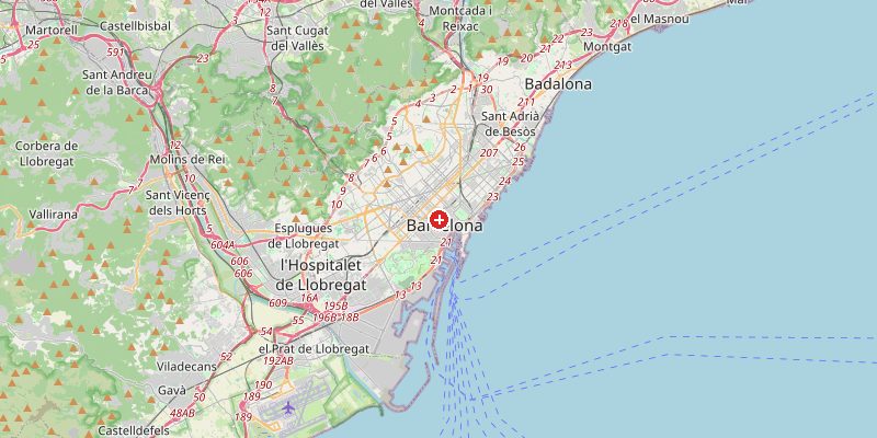
The city occupies a triangular coastal plain (the Pla de Barcelona) bordered by the Besòs River to the north, the Llobregat River to the south, and the Collserola hills to the west. The famous Eixample grid sits on near-flat land at 10–25 m. Gràcia and other inner districts rise to 50–80 m. The Collserola ridge rises sharply to Tibidabo (512 m) just 5 km from the city center.
Elevations by District
| District / Area | Elevation |
|---|---|
| Barceloneta / Waterfront | 0–5 m |
| Eixample / City Center | 10–25 m |
| Gràcia | 50–80 m |
| Sarrià-Sant Gervasi | 80–150 m |
| Tibidabo / Vallvidrera | 300–512 m |
| Poblenou (22@) | 1–8 m |
Climate and Altitude: How Elevation Shapes the City
Barcelona's elevation of 12 m means the city center enjoys a classic Mediterranean climate with hot summers, mild winters, and modest rainfall. The Collserola hills above 200 m experience noticeably cooler temperatures, acting as a natural air conditioner that channels sea breezes into the city. The Tramuntana and Tramontane winds occasionally sweep down from the mountains, bringing sharp temperature drops.
Interesting Facts About Barcelona's Elevation
- Tibidabo (512 m), Barcelona's highest point, is visible from nearly everywhere in the city and offers views across the Mediterranean on clear days.
- The Sagrada Família stands at 12 m elevation — its tallest tower will reach 172 m above the ground, making it visible from the sea.
- The Collserola ridge effectively divides the Barcelona metropolitan area from the inland Catalan plateau.
- Barcelona's flat Eixample grid was designed in 1859 by Ildefons Cerdà — it remains one of the world's most praised urban planning achievements.
Cities Comparison – Elevation in the Region
| City | Elevation |
|---|---|
| Tarragona | 69 m |
| Valencia | 15 m |
| Palma de Mallorca | 10 m |
| Marseille (FR) | 5 m |
Frequently Asked Questions About the Elevation of Barcelona
What is the elevation of Barcelona?
Barcelona city center sits at approximately 12 m above sea level. Within the city, elevations range from 0 m at the beaches to 512 m at Tibidabo in the Collserola hills.
Is Barcelona hilly?
The city center and Eixample are flat. However, districts like Gràcia and Sarrià-Sant Gervasi become increasingly hilly, and the Collserola ridge rises sharply to over 500 m within city limits.
What is the highest point in Barcelona?
The Tibidabo summit at 512 m in the Collserola Natural Park is Barcelona's highest point, reachable by historic funicular or road from the city.
How does elevation affect Barcelona's climate?
The low-lying center enjoys a classic Mediterranean climate. The Collserola hills above 300 m are noticeably cooler and wetter, and they channel refreshing sea breezes into the city during summer.
Can you see the mountains from Barcelona?
Yes. On clear days, the Pyrenees are visible from elevated vantage points and from Tibidabo.