New York City, the largest city in the United States and one of the great world metropolises, sits at just 10 meters above sea level on a collection of islands and peninsulas at the mouth of the Hudson River. Despite its modest average elevation, New York has a surprisingly varied topography — from tidal salt marshes at sea level to rocky upland ridges in the Bronx and Staten Island rising over 100 m. The city's island geography, shaped by the last Ice Age, has defined its growth, its density, and its vulnerability.
Key Facts at a Glance
| Elevation above sea level | 10 m |
|---|---|
| Lowest point (city area) | 0 m |
| Highest point (city area) | 124 m |
| Coordinates | 40.7128 N, 74.0060 W |
| Country / Region | New York, USA |
Topography: How is the City Shaped?
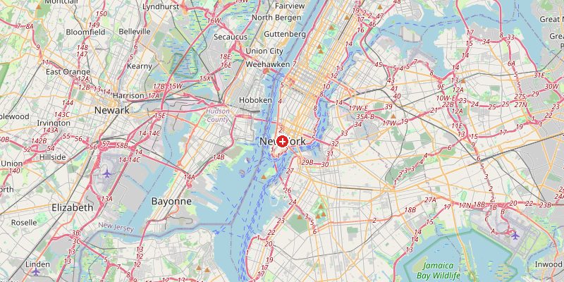
Manhattan, the most densely built island, ranges from 0 m at the southern tip (Battery Park, built on landfill) to 87 m at the natural ridge running through Washington Heights and Inwood in the north. Brooklyn and Queens sit on the edge of Long Island at 0–50 m. The Bronx on the mainland rises to 88 m at Riverdale. Staten Island is the hilliest borough, rising to 124 m at Todd Hill — the highest natural point on the eastern seaboard south of Maine.
Elevations by District
| District / Area | Elevation |
|---|---|
| Lower Manhattan / Financial District | 0–5 m |
| Midtown Manhattan | 15–30 m |
| Washington Heights / Inwood | 50–87 m |
| Brooklyn / Queens flatlands | 0–30 m |
| The Bronx (Riverdale) | 50–88 m |
| Staten Island (Todd Hill) | 80–124 m |
Climate and Altitude: How Elevation Shapes the City
New York's climate is shaped by its coastal position rather than its 10 m elevation. The city experiences cold, snowy winters and hot, humid summers, moderated by the Atlantic Ocean and New York Harbor. Storm surges are a serious risk: Hurricane Sandy (2012) sent a surge of 4.2 m into Lower Manhattan, flooding the subway system and causing $19 billion in damage. Climate change is increasing both sea levels and the intensity of Atlantic hurricanes.
Interesting Facts About New York's Elevation
- Manhattan's southern tip — where Wall Street and the 9/11 Memorial stand — is largely built on colonial-era landfill, extending the island hundreds of meters beyond its original shoreline.
- Hurricane Sandy (2012) flooded 17% of New York City and caused $19 billion in damage, exposing the vulnerability of the city's 0–5 m coastal edge.
- Central Park was engineered on a rocky Manhattan ridge of schist bedrock at 15–80 m — the same hard rock that allows skyscrapers to be safely founded in the city's geology.
- The Verrazzano-Narrows Bridge, connecting Brooklyn and Staten Island, has its towers at 70 m — the world's sixth-longest suspension bridge.
Cities Comparison – Elevation in the Region
| City | Elevation |
|---|---|
| Philadelphia | 12 m |
| Boston | 14 m |
| Newark (NJ) | 5 m |
| Hartford (CT) | 15 m |
Frequently Asked Questions About the Elevation of New York
What is the elevation of New York City?
New York City averages about 10 m above sea level. Elevations range from 0 m in coastal areas and landfill to 124 m at Todd Hill on Staten Island.
Is New York City flat?
Manhattan's southern end and much of Brooklyn and Queens are low and flat. But Manhattan has a pronounced rocky ridge in its northern section (87 m), and Staten Island is quite hilly, reaching 124 m.
What is the highest point in New York City?
Todd Hill on Staten Island at 124 m is the highest natural elevation in NYC — and the highest point on the Atlantic coast from Maine to Florida.
Is New York at risk of flooding?
Yes, significantly. Hurricane Sandy (2012) demonstrated how vulnerable the city's low-lying coastal areas are. Sea level in New York harbor has risen 30 cm since 1900 and continues to rise.
Why are Manhattan's skyscrapers only in certain areas?
The twin clusters of skyscrapers (Midtown and Downtown) sit where bedrock — Manhattan schist — is close to the surface, providing solid foundation. The gap between them (Greenwich Village, Soho) has deeper bedrock, making tall buildings historically more expensive.