Philadelphia, the birthplace of American democracy and Pennsylvania's largest city, sits at 12 meters above sea level at the confluence of the Delaware and Schuylkill rivers. One of the oldest major cities in the United States, Philadelphia's geography — a broad coastal plain rising gently toward the Piedmont uplands — made it a natural trade hub in colonial America. Today it remains a city of distinct neighborhoods, each with its own character shaped partly by the subtle hills and river valleys that define its terrain.
Key Facts at a Glance
| Elevation above sea level | 12 m |
|---|---|
| Lowest point (city area) | 0 m |
| Highest point (city area) | 143 m |
| Coordinates | 39.9526 N, 75.1652 W |
| Country / Region | Pennsylvania, USA |
Topography: How is the City Shaped?
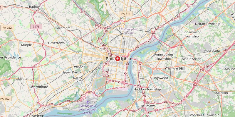
The historic center sits on the neck of land between the Delaware River (east) and the Schuylkill River (west), both at roughly 0–5 m above sea level. Center City Philadelphia lies at 5–20 m on a low ridge between the two rivers. Moving northwest, the terrain rises through Germantown (60–90 m) toward Chestnut Hill, which reaches 130–143 m at the city's highest point. South Philadelphia and the riverfront areas sit at 0–5 m.
Elevations by District
| District / Area | Elevation |
|---|---|
| Center City / Independence Hall | 5–20 m |
| South Philadelphia / waterfront | 0–5 m |
| West Philadelphia | 20–40 m |
| Germantown / Mt. Airy | 60–90 m |
| Chestnut Hill (NW) | 110–143 m |
| Northeast Philadelphia | 20–50 m |
Climate and Altitude: How Elevation Shapes the City
Philadelphia's climate is humid subtropical, shaped by its mid-Atlantic coastal position. At 12 m, elevation plays no meaningful role. The city experiences hot, humid summers, cold winters with regular snowfall, and a vulnerability to coastal storms. Nor'easters bring heavy snow every few years. The Delaware River occasionally floods low-lying neighborhoods during major storm events.
Interesting Facts About Philadelphia's Elevation
- Philadelphia was the largest city in colonial America and briefly the nation's capital — its flat, accessible terrain made it a natural hub for trade and governance.
- The Delaware River, bordering Philadelphia to the east, was crossed by George Washington in his famous 1776 Christmas night surprise attack on Trenton.
- Chestnut Hill (143 m) is Philadelphia's highest neighborhood — a leafy suburb at the edge of Wissahickon Valley Park, one of the largest urban parks in the US.
- Philadelphia's street grid, laid out by William Penn in 1682, was designed on flat land between the two rivers — one of the earliest planned cities in America.
Cities Comparison – Elevation in the Region
| City | Elevation |
|---|---|
| New York | 10 m |
| Baltimore (MD) | 30 m |
| Washington | 9 m |
| Trenton (NJ) | 14 m |
Frequently Asked Questions About the Elevation of Philadelphia
What is the elevation of Philadelphia?
Philadelphia sits at approximately 12 m above sea level. Elevations range from 0 m along the Delaware and Schuylkill rivers to 143 m at Chestnut Hill in the northwest.
Is Philadelphia flat?
The river neighborhoods and Center City are relatively flat. However, the northwest of the city rises significantly — Germantown, Mt. Airy, and Chestnut Hill are notably hilly.
Does Philadelphia flood?
Low-lying areas near the Delaware and Schuylkill rivers are prone to flooding during major storms and Nor'easters. The Schuylkill River flooding has historically affected parts of Manayunk and Fairmount.
What is the highest point in Philadelphia?
Chestnut Hill at approximately 143 m is the highest neighborhood in Philadelphia, offering elevated terrain at the city's northwest edge.
How does Philadelphia's geography compare to other East Coast cities?
Similar to New York (10 m) and Washington DC (9 m) in average elevation — all sit on the low Atlantic Coastal Plain, rising gently toward the Piedmont.