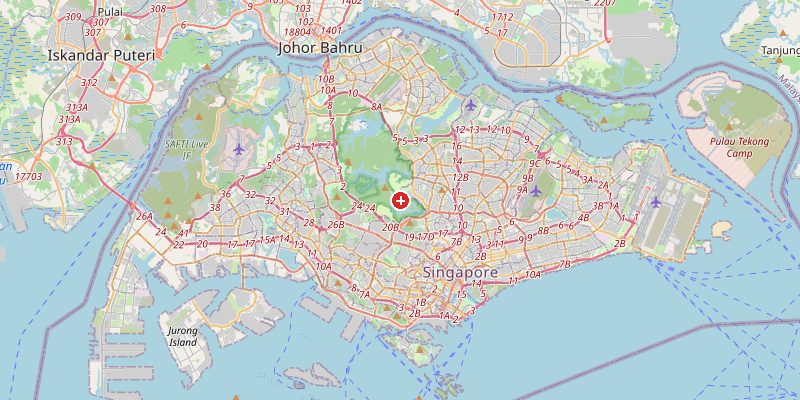
Singapore, the island city-state at the southern tip of the Malay Peninsula, sits at just 15 meters above sea level on a low-lying island in the Strait of Malacca. Despite its modest elevation, Singapore is a global financial hub and one of the world's most densely developed urban environments. The island's flat coastal terrain has been dramatically expanded through land reclamation — Singapore's land area has grown by 25% since independence in 1965, all built from sand dredged from the seabed.
Key Facts at a Glance
| Elevation above sea level | 15 m |
|---|---|
| Lowest point (city area) | 0 m |
| Highest point (city area) | 164 m |
| Coordinates | 1.3521 N, 103.8198 E |
| Country / Region | Singapore |
Topography: How is the City Shaped?
Singapore island is roughly 42 km east-west and 23 km north-south. The terrain is gently undulating, with most of the island at 5–30 m above sea level. The highest point is Bukit Timah Hill (164 m) in the central nature reserve — one of the few primary rainforest fragments remaining in Singapore. The southern and western coasts have been extensively reclaimed, with new districts like Marina Bay and Jurong Island built on land that did not exist 40 years ago.
Elevations by District
| District / Area | Elevation |
|---|---|
| Marina Bay (reclaimed land) | 0–5 m |
| Central Business District | 5–20 m |
| Orchard Road / Tanglin | 20–35 m |
| Bukit Timah (central forest) | 80–164 m |
| Jurong (western reclaimed) | 0–10 m |
| Changi (eastern) | 5–15 m |
Climate and Altitude: How Elevation Shapes the City
At 15 m, elevation has no meaningful effect on Singapore's climate. The city sits just 1°N of the equator, giving it a tropical rainforest climate: hot (28–34°C), humid, and rainy year-round. Singapore receives about 2,340 mm of rain annually, with two monsoon seasons. There are no distinct seasons — only slight variations between the northeast monsoon (December–March, wetter) and southwest monsoon (June–September). Thunderstorms occur on about 170 days per year.
Interesting Facts About Singapore's Elevation
- Singapore has reclaimed over 150 km² of new land since independence — about 25% of its current territory is built on sand dredged from the sea.
- Bukit Timah Nature Reserve (164 m) contains more tree species in its 1.6 km² than the entire North American continent.
- Singapore's Changi Airport is built almost entirely on reclaimed land, just 2–5 m above sea level — one of the world's most efficient airports on some of its most vulnerable terrain.
- Singapore is one of the world's most water-stressed nations despite 2,340 mm of annual rainfall — it must import water from Malaysia and has invested heavily in desalination and water recycling.
Cities Comparison – Elevation in the Region
| City | Elevation |
|---|---|
| Kuala Lumpur (MY) | 60 m |
| Batam (ID) | 10 m |
| Johor Bahru (MY) | 15 m |
| Bintan (ID) | 10 m |
Frequently Asked Questions About the Elevation of Singapore
What is the elevation of Singapore?
Singapore averages about 15 m above sea level. Elevations range from 0 m on reclaimed coastal land to 164 m at Bukit Timah Hill.
Is Singapore at risk from sea level rise?
Yes. Much of Singapore's coastline and reclaimed land sits at 2–5 m above sea level. The government has invested heavily in coastal protection and mandates that all new buildings be elevated above a minimum height.
What is Bukit Timah?
Bukit Timah ("Tin Hill" in Malay) at 164 m is Singapore's highest natural point and home to one of the world's most biodiverse primary rainforest fragments — a remarkable survival within one of the world's most urbanized environments.
How has Singapore expanded its land area?
Through massive dredging and reclamation projects, Singapore has added about 150 km² since 1965 — equivalent to 25% of its original land area. It has imported billions of tons of sand from Indonesia, Malaysia, and other neighbors.
Why does it rain so much in Singapore?
Singapore sits 1° north of the equator, in the inter-tropical convergence zone where trade winds from both hemispheres meet, causing constant convective uplift and thunderstorm formation. Thunderstorms occur on about 170 days per year.