Houston, Texas's largest city and the energy capital of the world, sits at just 15 meters above sea level on the flat coastal plain of the Gulf of Mexico. This low elevation, combined with the city's extraordinary sprawl across impermeable clay soils, makes Houston one of the most flood-prone major cities in the United States. The city lies entirely within the humid subtropics, and the combination of flat terrain, heavy rainfall, and inadequate natural drainage has resulted in catastrophic flooding events that define modern Houston as much as its oil derricks and space program.
Key Facts at a Glance
| Elevation above sea level | 15 m |
|---|---|
| Lowest point (city area) | -1 m |
| Highest point (city area) | 46 m |
| Coordinates | 29.7604 N, 95.3698 W |
| Country / Region | Texas, USA |
Topography: How is the City Shaped?
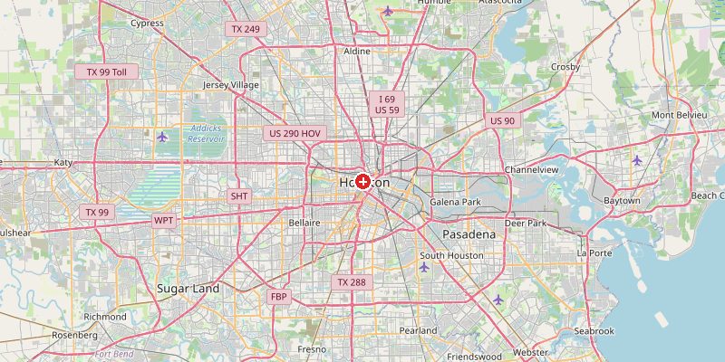
Houston sits in the Gulf Coastal Plain, a vast area of nearly flat sedimentary rock tilting gently toward the Gulf. The city's highest points are in the far west at around 46 m. Downtown Houston sits at 12–18 m. Buffalo Bayou, the main waterway, flows through the city at 5–10 m. In the east and southeast, the terrain drops to 0–5 m approaching Galveston Bay. Some industrial areas along the Houston Ship Channel sit below sea level.
Elevations by District
| District / Area | Elevation |
|---|---|
| Downtown Houston | 12–18 m |
| Buffalo Bayou corridor | 5–10 m |
| Galleria / Uptown | 20–30 m |
| Ship Channel (east) | 0–5 m |
| The Woodlands (north) | 35–46 m |
| Pearland / South | 5–15 m |
Climate and Altitude: How Elevation Shapes the City
Houston's climate is dominated by its Gulf Coast location: hot, intensely humid summers, mild winters, and massive rainfall averaging 1,380 mm per year — much of it in sudden, violent downpours. The flat terrain provides no natural drainage relief. Tropical storms and hurricanes are a recurring threat. Hurricane Harvey (2017) dropped 1,320 mm of rain on Houston in 4 days — a record for any US storm — flooding 30% of the city.
Interesting Facts About Houston's Elevation
- Hurricane Harvey (2017) dropped a record 1,320 mm of rain on Houston in 4 days, causing $125 billion in damage — the costliest tropical cyclone in US history.
- Houston has no zoning laws — making it unique among major US cities and contributing to its unplanned, sprawling urban form across the flat coastal plain.
- Houston is literally sinking: parts of the city have subsided up to 3 m in the last century due to groundwater extraction.
- The Houston Ship Channel, dredged to 14 m below sea level, allows ocean-going ships to reach 80 km inland from the Gulf.
Cities Comparison – Elevation in the Region
| City | Elevation |
|---|---|
| Galveston | 2 m |
| Austin | 149 m |
| Dallas | 139 m |
| New Orleans (LA) | -2 m |
Frequently Asked Questions About the Elevation of Houston
What is the elevation of Houston?
Houston sits at approximately 15 m above sea level. Elevations range from below sea level in industrial areas along the Ship Channel to about 46 m in western suburbs.
Why does Houston flood so often?
The combination of flat terrain, impermeable clay soils, heavy Gulf rainfall, and extensive paving creates severe flooding. The city has limited natural drainage and few hills to direct runoff.
Is Houston sinking?
Yes. Groundwater extraction has caused parts of Houston to sink by up to 3 m over the past century. This subsidence worsens flood risk in already low-lying areas.
How big a flood risk is Hurricane Harvey?
Harvey (2017) was unprecedented — 1,320 mm in 4 days on an already flat, saturated city. About 30% of Houston flooded. Experts consider events like Harvey increasingly likely due to climate change.
Does Houston have any hills?
Very few. The terrain is almost entirely flat. The slight elevation increase moving northwest toward The Woodlands (35–46 m) is the closest Houston gets to hills.