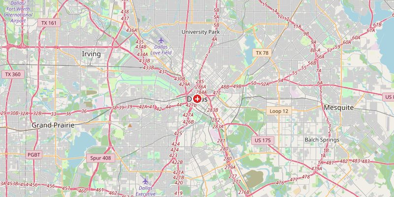
Dallas, Texas's third-largest city and the economic engine of the Dallas-Fort Worth Metroplex, sits at 139 meters above sea level on the rolling prairies of North Texas. Unlike many American cities, Dallas has no natural harbor, river crossing, or mountain pass to explain its existence — it grew purely through commerce, railroads, and later the oil industry, making it one of the most purely man-made major cities in the United States.
Key Facts at a Glance
| Elevation above sea level | 139 m |
|---|---|
| Lowest point (city area) | 120 m |
| Highest point (city area) | 230 m |
| Coordinates | 32.7767 N, 96.7970 W |
| Country / Region | Texas, USA |
Topography: How is the City Shaped?
Dallas occupies gently rolling terrain on the Blackland Prairie, a fertile dark-soil region stretching across North Texas. The Trinity River cuts through the city from northwest to southeast at around 120 m, forming the lowest terrain in the urban area. The city center sits at 130–145 m. Northern suburbs like Plano and Richardson rise to 190–230 m on the more elevated Mesquite Prairie.
Elevations by District
| District / Area | Elevation |
|---|---|
| Downtown Dallas | 130–145 m |
| Trinity River Bottoms | 120–128 m |
| Uptown / Highland Park | 145–165 m |
| Oak Cliff (south) | 155–185 m |
| Plano / North suburbs | 190–215 m |
| Irving / DFW Airport | 175–200 m |
Climate and Altitude: How Elevation Shapes the City
At 139 m, elevation has minimal effect on Dallas's climate. The city sits in "Tornado Alley" and experiences a humid subtropical climate with hot summers frequently exceeding 38°C, mild winters, and violent spring thunderstorms. The flat prairie landscape allows cold Arctic air masses to sweep in rapidly from the north, causing dramatic winter temperature swings.
Interesting Facts About Dallas's Elevation
- Dallas is the largest US city with no navigable waterway to the sea — its growth was driven entirely by railroads and later highways.
- The Trinity River in Dallas floods regularly; a major flood-control project has confined it behind earthen levees since the 1930s.
- DFW Airport (178 m elevation) is one of the world's largest airports, covering more land than Manhattan.
- Dallas has the largest contiguous urban arts district in the United States, all built on a plateau at around 140 m.
Cities Comparison – Elevation in the Region
| City | Elevation |
|---|---|
| Fort Worth | 198 m |
| Houston | 15 m |
| Austin | 149 m |
| Oklahoma City | 366 m |
Frequently Asked Questions About the Elevation of Dallas
What is the elevation of Dallas?
Dallas sits at approximately 139 m (456 ft) above sea level. Elevations range from 120 m along the Trinity River to about 230 m in northern suburbs.
Is Dallas flat?
Mostly yes. Dallas sits on gently rolling Blackland Prairie. There are no significant hills — the terrain rises gradually from south to north across the metro area.
Why does Dallas have no natural geographic feature?
Dallas has no harbor, mountain pass, or major ford. It grew because two railroad lines crossed there in 1872, making it a trading hub on the open prairie.
Does Dallas get tornadoes?
Yes. Dallas sits in Tornado Alley and experiences significant tornado risk each spring. The city has been directly struck multiple times, most recently in 2019.
How hot does Dallas get in summer?
Dallas averages 18+ days per year above 38°C (100°F). The flat, open terrain and low elevation mean no natural cooling from hills or coastal breezes.