Birmingham, the UK's second-largest city and the heart of the West Midlands, sits at 150 meters above sea level — making it one of the highest-elevated major cities in Britain. The city is built on a plateau formed by ancient volcanic rock and sandstone, which gives Birmingham a distinctly undulating topography compared to London's Thames valley flatlands.
Key Facts at a Glance
| Elevation above sea level | 150 m |
|---|---|
| Lowest point (city area) | 88 m |
| Highest point (city area) | 271 m |
| Coordinates | 52.4862 N, 1.8904 W |
| Country / Region | United Kingdom |
Topography: How is the City Shaped?
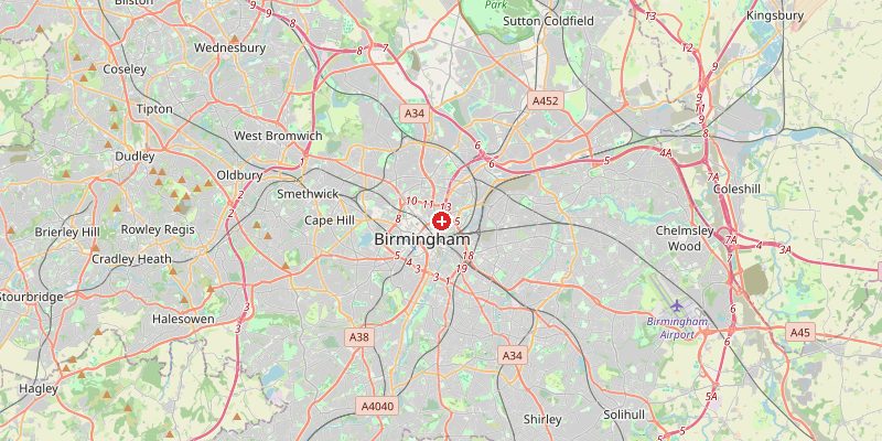
The city center sits on a sandstone plateau at 140–160 m. The Rea Valley cuts through the south at around 88 m. The Lickey Hills to the southwest form Birmingham's highest terrain, peaking at 271 m at Beacon Hill. The famous Jewellery Quarter lies at 140–155 m, while suburban areas like Sutton Coldfield in the north reach 180–230 m.
Elevations by District
| District / Area | Elevation |
|---|---|
| City Centre / Bullring | 140–160 m |
| Jewellery Quarter | 140–155 m |
| Moseley / Kings Heath | 150–175 m |
| Rea Valley (south) | 88–110 m |
| Sutton Coldfield (north) | 180–230 m |
| Lickey Hills (SW) | 200–271 m |
Climate and Altitude: How Elevation Shapes the City
At 150 m, Birmingham receives slightly more rainfall and has marginally cooler temperatures than lower-lying English cities. The city sits in the heart of England, shielded from maritime influences by Wales to the west and the Pennines to the north. This gives it a more continental flavor — wetter than London but cooler in summer. Snow is more frequent than in southern England.
Interesting Facts About Birmingham's Elevation
- Birmingham is famously known as the "city of 1,000 trades" — its industrial plateau provided ideal drainage and access to raw materials.
- The Birmingham Canal, built in the 1760s, had to navigate the city's 150 m plateau using a network of locks — a feat of Georgian engineering.
- Sutton Coldfield's Sutton Park (180–220 m) is one of the largest urban parks in the world.
- Birmingham's elevated position means it sits on a watershed — rain falling in the city flows to both the Severn and the Trent river systems.
Cities Comparison – Elevation in the Region
| City | Elevation |
|---|---|
| Coventry | 72 m |
| Leicester | 66 m |
| Wolverhampton | 163 m |
| Nottingham | 53 m |
Frequently Asked Questions About the Elevation of Birmingham
What is the elevation of Birmingham?
Birmingham city center sits at approximately 150 m above sea level, with elevations across the city ranging from 88 m in the Rea Valley to 271 m in the Lickey Hills.
Why is Birmingham elevated?
Birmingham sits on a Midlands plateau of ancient sandstone and volcanic rock. This naturally elevated ground drained well and offered coal and iron ore deposits — key to the city's Industrial Revolution growth.
Is Birmingham higher than London?
Yes, significantly. London averages around 11 m above sea level. Birmingham's city center at 150 m is about 14 times higher.
Does it snow more in Birmingham than London?
Yes. Birmingham's higher elevation and more inland position mean it receives measurably more snowfall than London in most winters.
What is the highest point in Birmingham?
Beacon Hill in the Lickey Hills reaches 271 m — the highest point within Birmingham's boundary and a popular viewpoint over the Midlands plain.