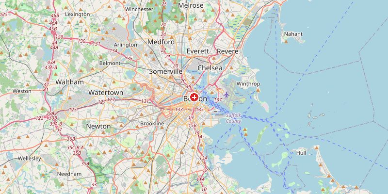
Boston, one of America's oldest cities and the capital of Massachusetts, sits at a modest 14 meters above sea level on a hilly peninsula at the mouth of the Charles River and Massachusetts Bay. Despite its low average elevation, Boston has a surprisingly varied topography for a coastal city, shaped by a history of extensive land reclamation that literally created entire neighborhoods from the sea.
Key Facts at a Glance
| Elevation above sea level | 14 m |
|---|---|
| Lowest point (city area) | 0 m |
| Highest point (city area) | 93 m |
| Coordinates | 42.3601 N, 71.0589 W |
| Country / Region | Massachusetts, USA |
Topography: How is the City Shaped?
The original Shawmut Peninsula — the core of colonial Boston — was a hilly promontory with three main hills, the tallest reaching 44 m. Land reclamation from the 1800s onwards filled in the tidal flats around it, creating the Back Bay, South Boston, and East Boston. These reclaimed districts sit at 0–3 m. The surrounding areas of Roxbury and Jamaica Plain rise to 40–70 m, and Blue Hills Reservation in Milton reaches 193 m.
Elevations by District
| District / Area | Elevation |
|---|---|
| Downtown / Financial District | 5–20 m |
| Back Bay (reclaimed land) | 0–3 m |
| Beacon Hill | 20–44 m |
| South Boston Waterfront | 0–2 m |
| Roxbury / Jamaica Plain | 40–70 m |
| Blue Hills (Milton, adjacent) | 100–193 m |
Climate and Altitude: How Elevation Shapes the City
At 14 m, Boston's climate is shaped by its coastal location, not its elevation. The city experiences a humid continental climate with hot, humid summers and cold, snowy winters. Nor'easter storms from the Atlantic bring heavy snowfall. Coastal flooding from storm surges is a concern for low-lying waterfront areas, which sit at just 0–2 m above sea level.
Interesting Facts About Boston's Elevation
- Large parts of Boston were literally built from the sea — the Back Bay neighborhood was created by filling tidal flats with gravel between 1857 and 1882.
- Beacon Hill, once 44 m tall, was reduced to 24 m by the early 1800s when soil was used to fill in Mill Pond.
- Boston's Logan Airport is built almost entirely on reclaimed land at 2–6 m above sea level.
- Sea level rise threatens Boston's extensive reclaimed waterfront, which lies at just 0–3 m above high tide.
Cities Comparison – Elevation in the Region
| City | Elevation |
|---|---|
| Providence (RI) | 20 m |
| Worcester (MA) | 150 m |
| New York (NY) | 10 m |
| Portland (ME) | 15 m |
Frequently Asked Questions About the Elevation of Boston
What is the elevation of Boston?
Boston averages about 14 m above sea level. Elevations range from 0 m in reclaimed waterfront areas to about 44 m on Beacon Hill and higher in outlying neighborhoods like Roxbury.
Why are parts of Boston below sea level?
Historic land reclamation filled in tidal flats with soil — these areas sit barely above high tide and are vulnerable to storm surge and rising sea levels.
Does Boston get a lot of snow?
Yes. Boston averages about 125 cm of snow per year. Its coastal location makes it vulnerable to powerful Nor'easter snowstorms.
What is the highest point in Boston?
Within city limits, Bellevue Hill in West Roxbury reaches about 93 m. The nearby Blue Hills Reservation (in Milton) peaks at 193 m.
Is Boston at risk of flooding?
Yes. Low-lying waterfront areas built on reclaimed land are already experiencing increased nuisance flooding and face serious risk from projected sea level rise.