Mexico City, one of the world's largest metropolises and the capital of Mexico, sits at an extraordinary 2,240 meters above sea level — making it one of the highest major cities on Earth. Built in the basin of the former Lake Texcoco by the Aztecs in 1325 as Tenochtitlan, the city has grown to house over 21 million people in its greater metropolitan area, all living at high altitude in a basin surrounded by volcanoes, some still active.
Key Facts at a Glance
| Elevation above sea level | 2240 m |
|---|---|
| Lowest point (city area) | 2200 m |
| Highest point (city area) | 3930 m |
| Coordinates | 19.4326 N, 99.1332 W |
| Country / Region | Mexico |
Topography: How is the City Shaped?
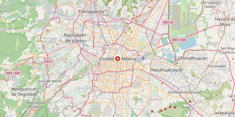
Mexico City occupies the Valley of Mexico (Valle de México), a closed basin at 2,200–2,400 m surrounded by mountain ranges and volcanoes. The historic center sits at 2,240 m. To the south, the Ajusco mountains rise within city limits to 3,930 m at the Pico del Águila. The twin volcanoes Popocatépetl (5,426 m) and Iztaccíhuatl (5,230 m) are visible from the city on clear days, just 60 km to the southeast. The city has no natural outlet for drainage — all water must be pumped out.
Elevations by District
| District / Area | Elevation |
|---|---|
| Historic Centre (Zócalo) | 2,240 m |
| Polanco / Chapultepec | 2,250–2,290 m |
| Xochimilco (lake remnant) | 2,235–2,250 m |
| Tlalpan (south foothills) | 2,400–2,800 m |
| Ajusco (volcanic S) | 2,800–3,930 m |
| Ciudad Universitaria (UNAM) | 2,290–2,350 m |
Climate and Altitude: How Elevation Shapes the City
At 2,240 m, Mexico City has a subtropical highland climate — mild and spring-like year-round. Despite being at 19°N latitude (tropics), the high altitude prevents the heat of the lowland tropics. Average temperatures stay between 6°C (January nights) and 23°C (May days). The rainy season runs May–October, bringing afternoon thunderstorms. The altitude affects newcomers: shortness of breath, fatigue, and headaches are common in the first days.
Interesting Facts About Mexico City's Elevation
- Mexico City is sinking at up to 50 cm per year in some areas — the result of groundwater extraction from the ancient lake sediments beneath the city, one of the fastest rates of urban subsidence in the world.
- Popocatépetl, the active volcano 60 km away (5,426 m), regularly emits ash clouds visible from Mexico City.
- The ancient Aztec city of Tenochtitlan was built on an island in Lake Texcoco at 2,240 m — the Spanish drained the lake in the 17th century, but the soft lake sediment beneath still subsides.
- At 2,240 m, the oxygen level in Mexico City is about 25% lower than at sea level — affecting athletic performance and requiring acclimatization from lowland visitors.
Cities Comparison – Elevation in the Region
| City | Elevation |
|---|---|
| Puebla | 2135 m |
| Toluca | 2680 m |
| Querétaro | 1820 m |
| Guadalajara | 1566 m |
Frequently Asked Questions About the Elevation of Mexico City
What is the elevation of Mexico City?
Mexico City sits at 2,240 m above sea level — one of the highest major cities in the world. Elevations range from 2,200 m in the lake basin to 3,930 m at the Ajusco volcanic peaks within city limits.
Why is Mexico City so high up?
Mexico City occupies the Valley of Mexico, a closed mountain basin at 2,200–2,400 m surrounded by volcanic mountain ranges. The Aztecs chose this location for its fertile lake environment and defensive advantages.
Is Mexico City sinking?
Yes, dramatically. Some areas sink up to 50 cm per year as groundwater is extracted from the clay lake sediments beneath the city, causing buildings to tilt and infrastructure to crack.
Can you feel the altitude in Mexico City?
Yes. At 2,240 m, the air has about 25% less oxygen than at sea level. Visitors often experience shortness of breath and mild altitude sickness for the first day or two.
Are the volcanoes near Mexico City dangerous?
Popocatépetl (5,426 m) is one of the most active volcanoes in North America. It regularly emits ash and gas, and evacuation plans exist for the communities surrounding it. It has not had a major eruption since 1947.