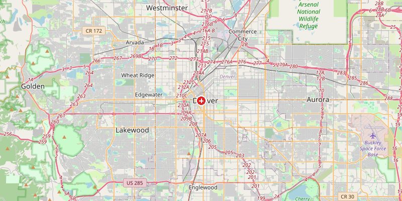
Denver, Colorado's capital and the gateway to the Rocky Mountains, sits at exactly 1,609 meters (5,280 feet) above sea level — precisely one mile high, earning it the famous nickname "The Mile High City." Denver is the highest major city in the United States and one of the highest-elevation capitals in the world. Its location on the Front Range of the Rockies gives it a dramatic setting: to the west, the snow-capped peaks of the Rockies soar to over 4,000 m; to the east, the Great Plains stretch flat to the horizon.
Key Facts at a Glance
| Elevation above sea level | 1609 m |
|---|---|
| Lowest point (city area) | 1524 m |
| Highest point (city area) | 1741 m |
| Coordinates | 39.7392 N, 104.9903 W |
| Country / Region | Colorado, USA |
Topography: How is the City Shaped?
Denver occupies a broad, gently sloping plain at the foot of the Rockies. The South Platte River runs through downtown at around 1,524 m — the city's lowest point. The city itself rises gradually to the west. The Denver Tech Center in the south sits at 1,670 m. Just west of the city, the terrain rises sharply into the foothills: Red Rocks Amphitheater sits at 1,865 m, and the summit of Mount Evans (56 km away) reaches 4,349 m.
Elevations by District
| District / Area | Elevation |
|---|---|
| Downtown / Union Station | 1,585–1,620 m |
| South Platte River corridor | 1,524–1,550 m |
| Capitol Hill | 1,609–1,640 m |
| Cherry Creek | 1,609–1,650 m |
| Denver Tech Center | 1,650–1,700 m |
| Stapleton / Aurora (east) | 1,580–1,630 m |
Climate and Altitude: How Elevation Shapes the City
Denver's high elevation dramatically shapes its climate. The city receives 300 days of sunshine per year — more than Miami — because the thin, dry air at 1,609 m contains little moisture to form clouds. Summers are warm but rarely oppressive (low humidity, cool nights). Winters bring heavy snow — the Rockies to the west intercept Pacific moisture. The "Chinook" warm wind occasionally raises winter temperatures by 20°C in a matter of hours.
Interesting Facts About Denver's Elevation
- The 13th step of the Colorado State Capitol building is officially certified at exactly 5,280 feet (1,609 m) above sea level — marking Denver's mile-high status.
- Alcohol hits harder at altitude — Denver's thin air means drinks are noticeably more potent than at sea level.
- Denver International Airport (1,655 m) is the highest major airport in the USA and the fifth highest in the world.
- Denver's Broncos football team plays at Empower Field (1,609 m) — opposing teams often struggle in the thin air during the first game of a visit.
Cities Comparison – Elevation in the Region
| City | Elevation |
|---|---|
| Boulder (CO) | 1624 m |
| Colorado Springs (CO) | 1839 m |
| Salt Lake City (UT) | 1288 m |
| Albuquerque (NM) | 1510 m |
Frequently Asked Questions About the Elevation of Denver
What is the elevation of Denver?
Denver sits at exactly 1,609 m (5,280 ft) — precisely one mile above sea level. This earned it the nickname "The Mile High City."
Why is Denver called the Mile High City?
Because it sits at exactly one mile (5,280 feet / 1,609 m) above sea level. The 13th step of the State Capitol building is officially marked at this elevation.
Can you feel the altitude in Denver?
Yes. Many visitors experience mild altitude sickness — headaches, shortness of breath, or fatigue — especially in the first 24–48 hours. Staying hydrated helps.
Does Denver get a lot of snow?
Yes, averaging about 150 cm per year. The city gets intense but short-lived snowstorms, often followed by warm, sunny days that melt the snow quickly.
Is alcohol stronger in Denver?
Effectively yes. At 1,609 m, there is less oxygen and lower atmospheric pressure. Alcohol absorbs faster and its effects are more pronounced than at sea level.