Miami, Florida's international gateway and one of the most glamorous cities in the United States, sits at just 2 meters above sea level on a narrow limestone ridge between Biscayne Bay and the Everglades. This vanishingly small elevation makes Miami uniquely vulnerable: it is considered the most at-risk major city in the world from sea level rise, with billions of dollars of real estate in the direct path of the ocean. The city is beautiful, vibrant, and literally one storm surge away from catastrophe.
Key Facts at a Glance
| Elevation above sea level | 2 m |
|---|---|
| Lowest point (city area) | 0 m |
| Highest point (city area) | 4 m |
| Coordinates | 25.7617 N, 80.1918 W |
| Country / Region | Florida, USA |
Topography: How is the City Shaped?
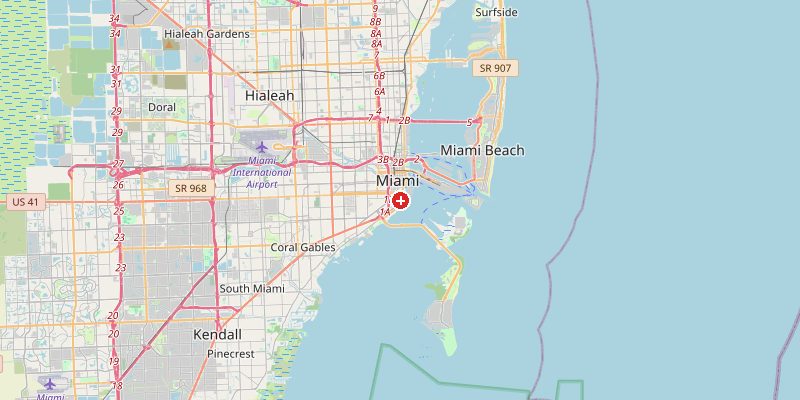
Miami's entire geography is defined by the Atlantic Coastal Ridge — a thin limestone escarpment barely 4 m above sea level at its highest, separating Biscayne Bay from the Everglades wetlands to the west. Downtown and Brickell sit at 1–3 m. Miami Beach is built entirely on a barrier island at 0–2 m, reclaimed from mangrove swamp in the early 20th century. The Miami Rock Ridge in the western suburbs reaches a "towering" 4 m — the city's highest natural terrain.
Elevations by District
| District / Area | Elevation |
|---|---|
| Downtown Miami / Brickell | 1–3 m |
| Miami Beach (barrier island) | 0–2 m |
| Coconut Grove | 1–4 m |
| Coral Gables | 2–4 m |
| Miami Gardens (NW) | 2–4 m |
| Homestead (S suburbs) | 1–3 m |
Climate and Altitude: How Elevation Shapes the City
Miami has a tropical climate with a wet season (May–October) and dry season (November–April). The 2 m elevation has absolutely no effect on the climate — heat, humidity, and hurricane risk are entirely driven by the subtropical latitude and the surrounding ocean. Miami sits in the heart of Atlantic hurricane territory, experiencing a direct hit or near-miss every few decades. Storm surges from major hurricanes can be 3–5 m — entirely swamping the city's highest points.
Interesting Facts About Miami's Elevation
- Miami is built almost entirely on land that is lower than a 1-in-100-year storm surge — making it one of the most flood-exposed cities in the world.
- Miami Beach is already experiencing "sunny day flooding" — streets flood at high tide even on calm, clear days, as rising seas push groundwater through porous limestone.
- The Brickell neighborhood's luxury high-rises stand on ground just 1–2 m above sea level, yet tower 200–300 m into the sky.
- Miami's limestone bedrock is porous and cannot be sealed with flood barriers — water seeps up from below, making traditional seawall solutions ineffective.
Cities Comparison – Elevation in the Region
| City | Elevation |
|---|---|
| Fort Lauderdale | 3 m |
| West Palm Beach | 5 m |
| Orlando | 72 m |
| Nassau (BS) | 5 m |
Frequently Asked Questions About the Elevation of Miami
What is the elevation of Miami?
Miami sits at approximately 2 m above sea level. The city's elevation ranges from 0 m at the shoreline to just 4 m at its absolute highest natural point.
Is Miami going to flood?
Current projections show Miami is extremely vulnerable to sea level rise. Even conservative estimates suggest major flooding of low-lying areas by 2100, with some scenarios seeing much of Miami Beach uninhabitable by mid-century.
Why can't Miami build seawalls like other cities?
Miami's limestone bedrock is porous — water seeps up through it from below rather than over a wall. Seawalls cannot stop groundwater-driven flooding from porous rock.
Does Miami flood now?
Yes. Miami Beach already experiences regular "sunny day flooding" at high tide — salt water bubbles up through storm drains and street cracks without any rain.
Has Miami been hit by a major hurricane?
Yes. Hurricane Andrew (1992) was one of the most destructive in US history, hitting south of Miami. Hurricane Irma (2017) caused massive damage across South Florida. The region faces ongoing hurricane risk.